Dr. Til Prasad Pangali Sharma
Geographer focusing on GIS and Remote Sensing Applications in Disaster Risk Reduction in the Himalaya Region
About Me
Geographer with a strong academic background in Geographic Information Systems (GIS). Holding a Master’s degree in Geography and a PhD in Cartography and GIS (2021), I have developed expertise in disaster risk analysis and the application of remote sensing data (mainly optical remote sensing data) in Disaster Risk Reduction (DRR). My research projects have focused on utilizing GIS approaches for land use change analysis and disaster risk assessment. Transitioning into my professional career, I have worked as a GIS expert and a DRR specialist on various national and international projects.
Developing With a Passion While Exploring The World.
With a deep passion for GIS and Remote Sensing, I explore the world through spatial analysis, uncovering insights that contribute to disaster risk reduction, especially in the Himalayan region. My work blends scientific research, real-world applications, and technological advancements to develop geospatial solutions that aid in resilience and sustainability.
Through publishing research, collaborating on national and international projects, and continuously learning, I strive to bridge the gap between data and decision-making. Whether analyzing satellite imagery, mapping disasters, or developing geospatial tools, my journey is driven by curiosity, innovation, and a commitment to making a difference.

What Services I'm Providing
I specialize in GIS and Remote Sensing analysis, focusing on disaster risk reduction, land use mapping, and environmental monitoring. My expertise extends to Web GIS development, creating interactive mapping solutions using tools like Leaflet, Google Earth Engine, and QGIS. I also provide disaster risk assessment, including hazard mapping and multi-hazard risk modeling. As a researcher, I contribute to scientific publications and consulting, offering technical writing, proposal development, and project support. Additionally, I offer freelance consulting and training, helping individuals and organizations with GIS-based solutions, geospatial analysis, and training in QGIS, Python, and Google Earth Engine.

GIS and Remote Sensing Analysis
Spatial analysis and mapping for disaster risk reduction (DRR)
Land Use and Land Cover (LULC) classification and change detection
Optical remote sensing data analysis for environmental monitoring

Disaster Risk Assessment and Management
Hazard mapping and vulnerability assessment
Multi-hazard risk modelling using GIS and remote sensing
Spatial data analysis for climate change and resilience planning

Freelance Consulting & Training
Custom GIS & Remote Sensing solutions for organizations and individuals
Training in QGIS, Google Earth Engine (Python & JavaScript), and spatial analysis
Support for GIS-based project development and implementation
Proposal writing and project development for geospatial studies
Work Experience
I am a GIS and Remote Sensing analyst with extensive experience in spatial analysis, disaster risk reduction, and geospatial research, working on national and international projects while publishing scientific studies in the field.
1. Generation of High Resolution DEM and Ortho Photo Map with application of Airborne LiDAR Surveying and Mapping; Survey Department, Nepal (Since August 2025).
2. Preparation of Provincial Level Land Use Plan for Madhesh Province, Nepal
3. Preparation of Land Use Plans of Pilot Project Sites: Marin Rural Municipality of Sindhuli and Gadhimai Municipality of Rautahat District of Nepal
4. Municipal Level Land Use Map Updating (Nepal)
1. Org: Regional Integrated Multi-Hazard Early Warning System (RIMES), Bangkok, Thailand.
2. Project: Risk Sensitive Land Use Planning (RSLUP) for Tikapur and Jiri Municipalities, Nepal
3. Project: Facilitating the periodic planning process in Naumule Rural Municipality, Dailekh District.
1. Strengthening Project Bank in Gandaki Province of Nepal. A project funded by ADB. Scholar Nepal Pvt. Ltd.
Prioritizing the Displacement-Environmental Nexus. Chr. Michelsen Institute (CMI), Bergen, Norway.
My Portfolio
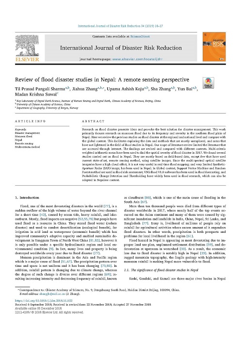
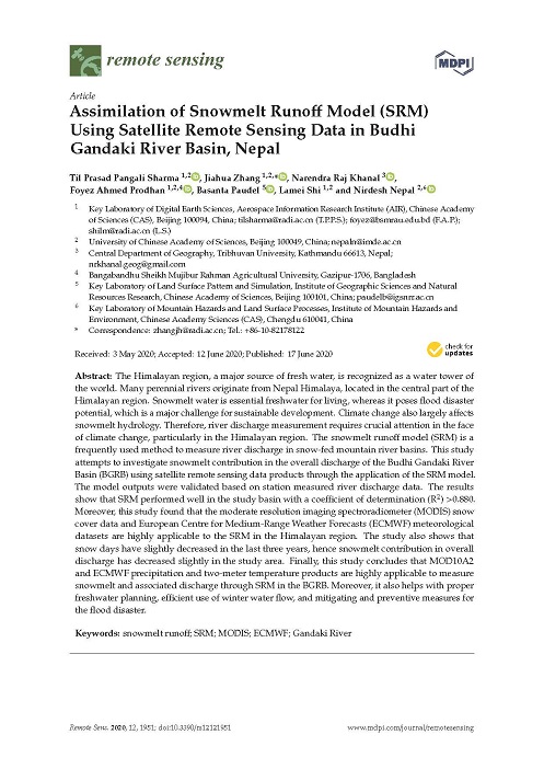
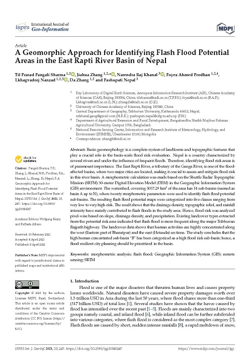
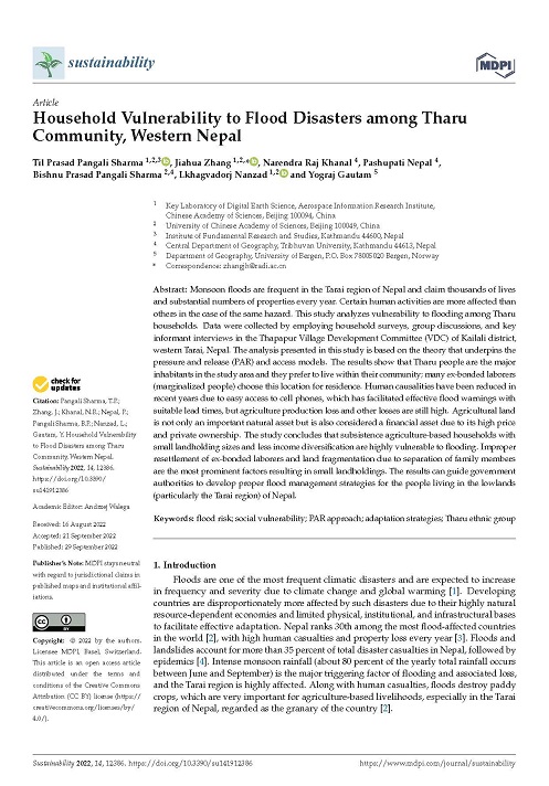
Through my expertise in GIS, Remote Sensing, and disaster risk reduction, I have worked on various national and international projects, contributing to research, spatial analysis, and innovative geospatial solutions. Below are some of my key projects and publications that demonstrate my commitment to leveraging geospatial technology for real-world impact.
Stay In Touch
I’m always excited to connect with fellow researchers, professionals, and organizations passionate about GIS, Remote Sensing, and disaster risk reduction. Whether you have a project idea, need consulting support, or just want to discuss geospatial solutions, feel free to reach out. Let’s collaborate and make an impact together!
Email: tilsharma9@gmail.com
Mobile: +977 9841660844